
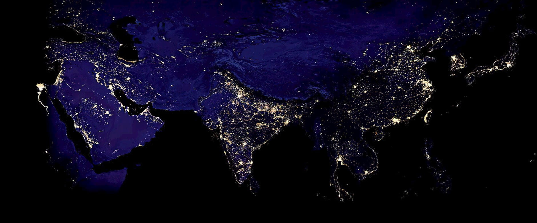
Click the arrows to see how the researchers examined economic integration in the Shanghai area using satellite imagery.
NASA
Inequality has grown in the United States over the past few decades—in terms of not only wealth, but also the geographic distribution of talented labor. Research from Columbia’s Donald Davis and Chicago Booth’s Jonathan Dingel has documented the increasing “skill abundance” of large US cities. But this phenomenon isn’t exclusive to the US and other developed countries, according to further research from Dingel, Davis, and the Boston Consulting Group’s Antonio Miscio.
The pull of talent to large cities is also taking place in developing countries, the researchers find. Studying the dynamics of talent across and within metropolitan areas in Brazil, China, and India—three countries that make up about 40 percent of the world’s population, the researchers note, and that feature diverse income levels—Dingel, Miscio, and Davis conclude that more-skilled residents tend to make up a larger fraction of a city’s population the bigger it is, and they tend to live closer to the center of metropolitan areas.
In Brazil, the most populous cities also have the largest wage premia for college graduates, a trend that’s been observed in the US as well. (Data were not sufficient to study this question in China or India.) Across Brazil, college graduates earned on average about 214 percent more than college dropouts in 2010. But this gap increased with city size: 191 percent in cities with populations of 100,000, 212 percent in cities of 1 million people, and 223 percent in cities of 3 million.
Because the study focused on developing countries, many of which don’t define metropolitan areas the way developed countries do, the researchers had to take a novel approach to identifying these areas. While the US defines a metro area by aggregating counties on the basis of commuting flows between them, comprehensive commuting statistics are not collected in China and India. Consequently, the administrative definitions of cities in those countries don’t necessarily coincide well with measures of economic integration used to define metro areas in developed countries. So, in order to study where the most talented workers reside in these developing countries, the researchers constructed metro areas using satellite images of these countries at night.
Seeking to define metropolitan areas in terms of economic activity rather than follow local governments’ administrative definitions of cities, the researchers used nighttime satellite imagery to identify busier, more brightly lit areas.
Click the arrows to see how the researchers examined economic integration in the Shanghai area using satellite imagery.

1. A satellite image of the Shanghai area with its colors inverted shows the intensity of lights at night as dark areas.

2. The researchers mapped out the areas above a given level of brightness.

3. They overlaid these areas on a map of local townships, for which detailed socioeconomic data are available.

4. Using the areas of light as a guide, they identified distinct clusters of townships, whose data they could then group together for analysis.
1 of 1
Dingel et al., 2018
The researchers argue that brighter lights signal more economic activity, and then match the light data from the satellite imagery with spatial data on counties and townships to construct metropolitan areas within Brazil, China, and India that are comparable to those that researchers study in developed countries.
“Research describing cities in the United States and other developed economies typically uses spatial units defined by economic integration,” note Dingel, Miscio, and Davis. “Our assumption is that contiguity of lights at night is informative about integration of economic activity."

The agency has signaled increased scrutiny of nonreportable mergers in healthcare.
Is the FTC Targeting ‘Stealth Consolidation’ by Private Equity?
A study of data from 17 countries provides a nuanced answer.
Can Positive Thinking Fuel Economic Booms?
Lawyer Dina Srinivasan joins the Capitalisn’t podcast to discuss the US Department of Justice’s lawsuit against Google.
Capitalisn’t: Google—The New Vampire Squid?Your Privacy
We want to demonstrate our commitment to your privacy. Please review Chicago Booth's privacy notice, which provides information explaining how and why we collect particular information when you visit our website.